
Introduction
Mapping and monitoring snake habitats is crucial for scientific research, especially in understanding species distribution and ecological dynamics. Reptiles, as sensitive indicators of environmental change, require detailed habitat assessment to inform conservation efforts. As their populations face numerous threats—from habitat loss to climate change—comprehensive monitoring strategies become paramount. Effective data collection supports wildlife monitoring initiatives aimed at mitigating adverse impacts on these species.
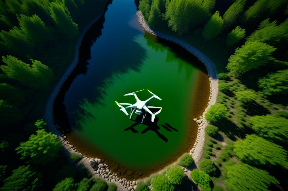
The advent of drone mapping has opened new avenues in herpetology, revolutionizing the way researchers approach habitat studies. These aerial surveys provide high-resolution imagery that enables scientists to analyze geographic features and vegetation patterns from a perspective previously unattainable. With applications in remote sensing, this technology enhances our capacity to gather extensive data over vast areas, which is particularly beneficial for tracking elusive species like snakes.
Traditional mapping methods face several challenges. Ground surveys can be time-consuming and labor-intensive, leading to potential biases in data collection. Additionally, many snake species inhabit environments that are difficult to access or survey without disrupting their natural behavior. These limitations can affect the accuracy of habitat assessments and the understanding of population dynamics. By integrating innovative conservation technology like drone mapping, researchers can overcome these obstacles, facilitating more effective environmental management. Such advancements could prove vital in the ongoing effort for reptile conservation, equipping scientists with better tools to study and safeguard these important species.
Drone Mapping in snake habitat Assessment
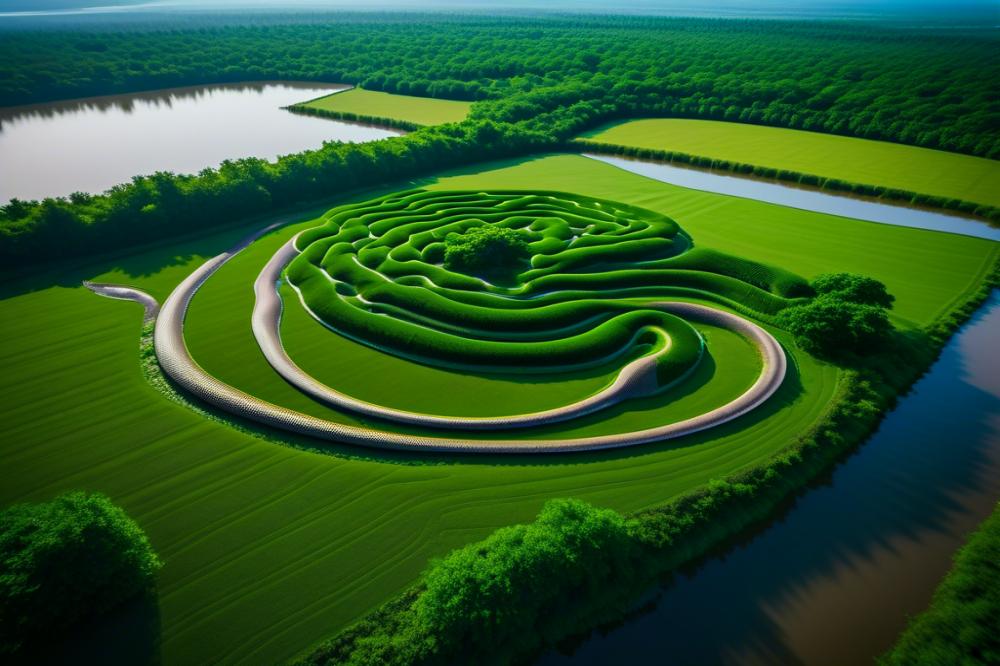
Utilizing UAV applications has revolutionized the way researchers approach wildlife monitoring. aerial surveys provide high-resolution imagery and data that are not easily achievable through traditional ground-based methods. This technology captures broad areas rapidly, offering an efficiency that is essential for assessing extensive habitats where snakes reside.
Ground-based approaches often require significant time and labor, making them less suitable for large-scale studies. In contrast, drone mapping can survey expansive landscapes, revealing crucial insights into snake habitats. This capability supports better species distribution analysis, allowing researchers to identify critical areas for conservation efforts. Less manpower is needed for data collection, enabling teams to focus on data interpretation and ecological research.
Implementing remote sensing data in habitat assessment strengthens the understanding of ecological dynamics. With precise geographic positioning, drone data provides reliable information about habitat features important to snake survival. Additionally, seasonal changes in terrains can be tracked effectively, presenting a clearer picture of how environmental factors influence reptile conservation. As landscapes shift due to climate change or human activities, this technology provides a proactive tool for environmental management.
Comparison of different modalities reveals that drone mapping stands out as an innovative conservation technology. By integrating a variety of data sources, scientists can discern patterns and trends that inform conservation strategies. Enhanced accuracy in documenting species distribution further influences decision-making processes related to habitat preservation. The integration of these advanced methodologies will pave the way for more informed ecological assessments.
Applications of Drones in Wildlife Monitoring

UAV Applications in Tracking Snake Populations
Drones have emerged as a groundbreaking tool in wildlife monitoring, especially for elusive species like snakes. These unmanned aerial vehicles (UAVs) facilitate real-time surveillance of snake habitats. By utilizing remote sensing technologies, researchers can gather critical data on species distribution and behavior patterns. Aerial surveys allow ecologists to cover vast areas quickly, which is particularly beneficial in regions where snakes dwell in dense vegetation or rugged terrain.
Real-Time Data Collection and Its Impact on Ecological Research
Collecting real-time data through drone technology significantly enhances ecological research capabilities. This immediate feedback loop enables scientists to adjust their observations and methodologies promptly. In the context of snake population studies, real-time insights can help identify hotspots for breeding or hibernation. Integrating these findings into ongoing projects helps refine conservation strategies. Accurate and timely information can guide management efforts and foster more effective environmental stewardship.
Case Studies Highlighting Successful Drone Monitoring Projects
Several case studies underscore the success of drone monitoring in reptile conservation. One project in Australia focused on tracking the endangered eastern brown snake, where drones mapped critical habitats and monitored populations over time. Another impressive initiative took place in Costa Rica, where researchers employed UAVs to study green sea turtles. They monitored nesting sites from an aerial perspective, resulting in valuable data that improved conservation tactics. These projects demonstrate the versatility and efficacy of drone technology in wildlife research.
Impacts on Conservation Technology and Reptile Conservation Efforts
The incorporation of drones into conservation technology represents a significant advancement for reptile conservation efforts. This method enhances habitat assessment accuracy and provides a scalable approach to environmental management. As a result, conservationists can allocate resources more effectively. The ability to analyze large tracts of land remotely aids in identifying critical habitats that require protection. Moving forward, embracing UAV applications could very well transform traditional conservation methodologies and promote sustainable management practices.
Environmental Management and Conservation Strategies

Effective habitat management plans hinge on precise data collection. Drone mapping presents a transformative approach to understanding snake habitats. Utilizing aerial surveys, researchers can capture detailed snapshots of ecosystems often challenging to assess on the ground. This technology enhances habitat assessment by providing extensive views that traditional methods may miss.
Monitoring environmental changes that threaten snake habitats becomes vital through the lens of drones. Fluctuations in land use, climate, and vegetation greatly impact species distribution. Remote sensing capabilities allow for the detection of even subtle shifts in the landscape that could signal habitat degradation. Consequently, rapid response strategies can be initiated to mitigate potential threats.
Collaborative efforts between researchers and conservation agencies are crucial for successful outcomes. Engaging multiple stakeholders fosters a holistic understanding of regional ecological dynamics. Partnerships enable the pooling of resources, knowledge, and technology, amplifying the effectiveness of wildlife monitoring initiatives. Each contributor adds a layer of expertise that enriches ecological research and informed decision-making.
Long-term implications for biodiversity and species protection are profound. With accurate data from UAV applications, conservationists can craft strategies that directly address the needs of snakes and other reptiles. In turn, these strategies can help safeguard entire ecosystems, ensuring resilience against various environmental stressors. Fostering healthy habitats ultimately benefits all species that share these environments.
Challenges and Limitations of Drone Use
The integration of drones into snake habitat monitoring presents several challenges that cannot be overlooked. A primary concern involves the interpretation of the data collected. Unlike traditional methods, aerial surveys generate vast amounts of information. Analysts may struggle to discern subtle differences in terrain that are crucial for understanding species distribution. Advanced training in remote sensing techniques becomes essential. Without proper interpretation skills, insights can be misrepresented or, worse, completely overlooked.
Regulatory issues add another layer of complexity. Most regions have stringent laws governing the use of UAV applications, especially in protected natural areas. These regulations are often rooted in concerns about disturbance to wildlife and ecosystems. Navigating these legal frameworks requires time and effort that many researchers may not anticipate. Furthermore, ethical considerations arise in wildlife monitoring. Using drones risks intruding into the lives of sensitive species, potentially leading to stress or dislocation. Conservation technology must balance its advantages against these potential harms.
Technical limitations also hinder the effectiveness of aerial surveys. Battery life, weather conditions, and equipment reliability can impact survey outcomes. For instance, poor visibility due to inclement weather can severely reduce data quality. Operational challenges often extend beyond equipment. Skilled operators are required to handle drones, complicating training and field deployment processes. The need for specialized training can pose budgetary concerns for many research teams, especially smaller organizations focused on reptile conservation.
Data management techniques must evolve in tandem with drone technology. Storing and processing extensive datasets can strain resources. Additionally, a lack of standardized methodologies for habitat assessment can lead to inconsistencies in ecological research. As researchers strive for accuracy, addressing these procedural gaps becomes critical. Adopting unified protocols could enhance data reliability and foster collaboration among scientists.
Looking ahead, advancements in drone technology promise to improve ecological research significantly. Innovations such as enhanced imaging systems and AI-driven data analysis tools may revolutionize wildlife monitoring efforts. Future drones might incorporate multispectral sensors to track not only habitat changes but also the health of vegetation crucial for snake survival. Efforts to develop automated flight planning tools could also streamline aerial surveys, making them more efficient and cost-effective.
Research institutions should advocate for a thoughtful approach to integrating drones into their workflows. Emphasizing collaboration between engineers and ecologists may lead to innovative solutions that directly address current limitations. Encouraging dialogue within the scientific community can lead to shared best practices and accelerated advancements in drone technology. Embracing this forward-thinking mindset will create a lasting impact on environmental management strategies involving snake habitat conservation.
Closing Thoughts
The significance of utilizing drones for snake habitat mapping and monitoring cannot be overstated. These innovative tools revolutionize the way researchers collect data and observe ecosystems. Aerial surveys capture vast areas with precision, highlighting critical habitats that would be challenging to assess through traditional methods. Enhanced visibility provides insights into snake populations and their interactions with the environment, offering a clearer picture of their requirements.
Integration of this technology into conservation efforts becomes increasingly vital as habitats face numerous threats. Drones facilitate real-time data collection and analysis, giving conservationists the ability to respond swiftly to changes or disturbances in snake habitats. Moreover, the accessibility of these devices makes it feasible to engage in nuanced wildlife monitoring without causing significant disruption to the delicate ecosystems being examined.
Looking toward the future, UAV technology promises to enhance wildlife research and management even further. Innovations will likely allow for greater precision in data collection and improved capabilities in challenging terrains. As these tools continue to evolve, their applications could expand, leading to more effective conservation strategies and better-informed decision-making processes. The journey of integrating drone mapping technology into the realm of environmental science is just beginning, and the potential is immense.

